 |
|
Last update
2005-02-04
|
ALMA-J Site Testing Data Archive
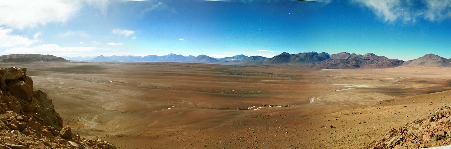 |
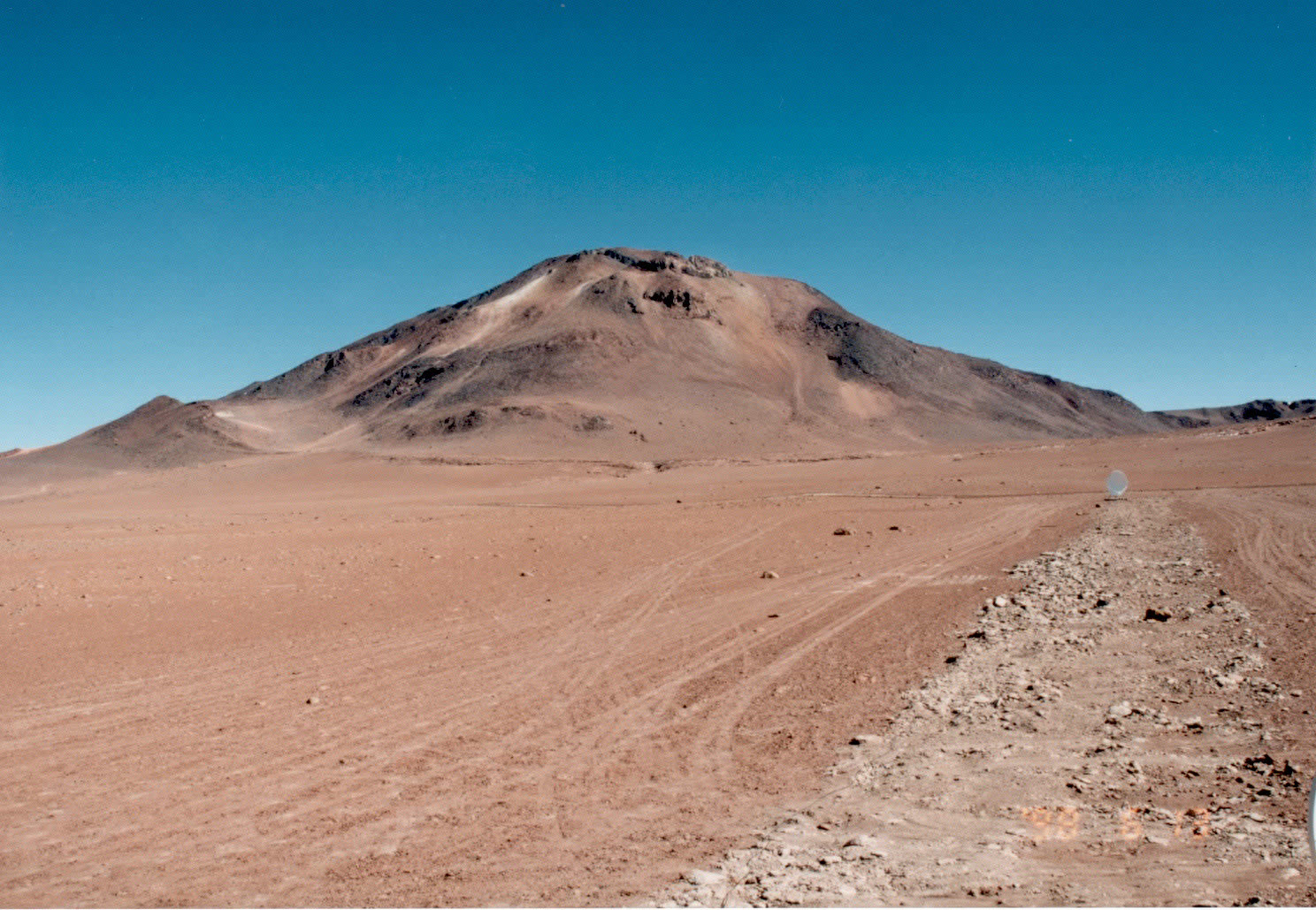
Panoramic view of the Pampa la Bola area (4800 m) in the Cerro Chascon science preserve, Chile, as seen from Cerro Chascon. Photo taken by H. Ezawa. Click image to enlarge. |
General Description
The criteria for the potential ALMA site include:-
(1) high atmospheric transparency at submillimeter wavelengths
(2) good radio seeing to achieve sub-arcsec resolution
(3) low wind velocity for a good pointing accuracy
(4) flat and wide (> 3 km x 3 km) area to locate the array
(5) easy accessibility to the site
(6) existing infrastructure, etc.
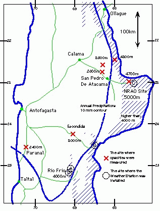
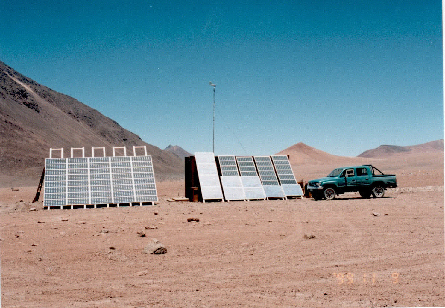
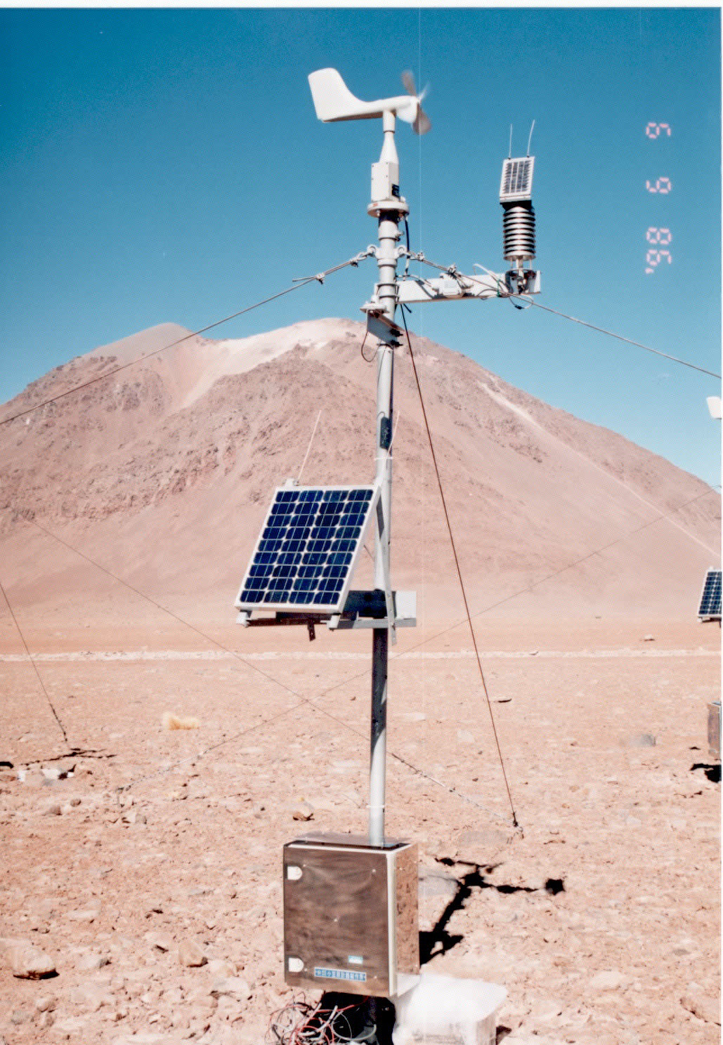
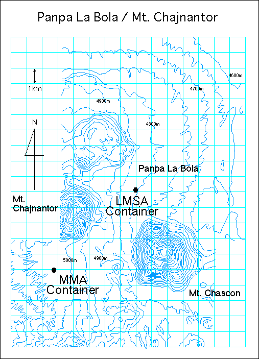
Mauna Kea, Hawaii and the Atacama desert in northern Chile has been considered as the potential sites in northern and southern hemispheres, respectively. As site testing has already been conducted on Mauna Kea by other groups, we decided to focus our site testing activities on northern Chile. The Atacama desert is one of the most arid deserts on the Earth and the mean annual precipitation is less than 10 mm, indicating the area is expected to be a very good site for astronomical observatories. There are very flat areas at high altitude suitable for ALMA. In 1992 and 1993, we visited about twenty of possible sites in northern Chile under collaboration with SEST/ESO group and the University of Chile. We are testing the sites more extensively with small interferometers to measure atmospheric phase fluctuations, 220 GHz tipping radiometer, and four identical weather stations.
Atmospheric Conditions
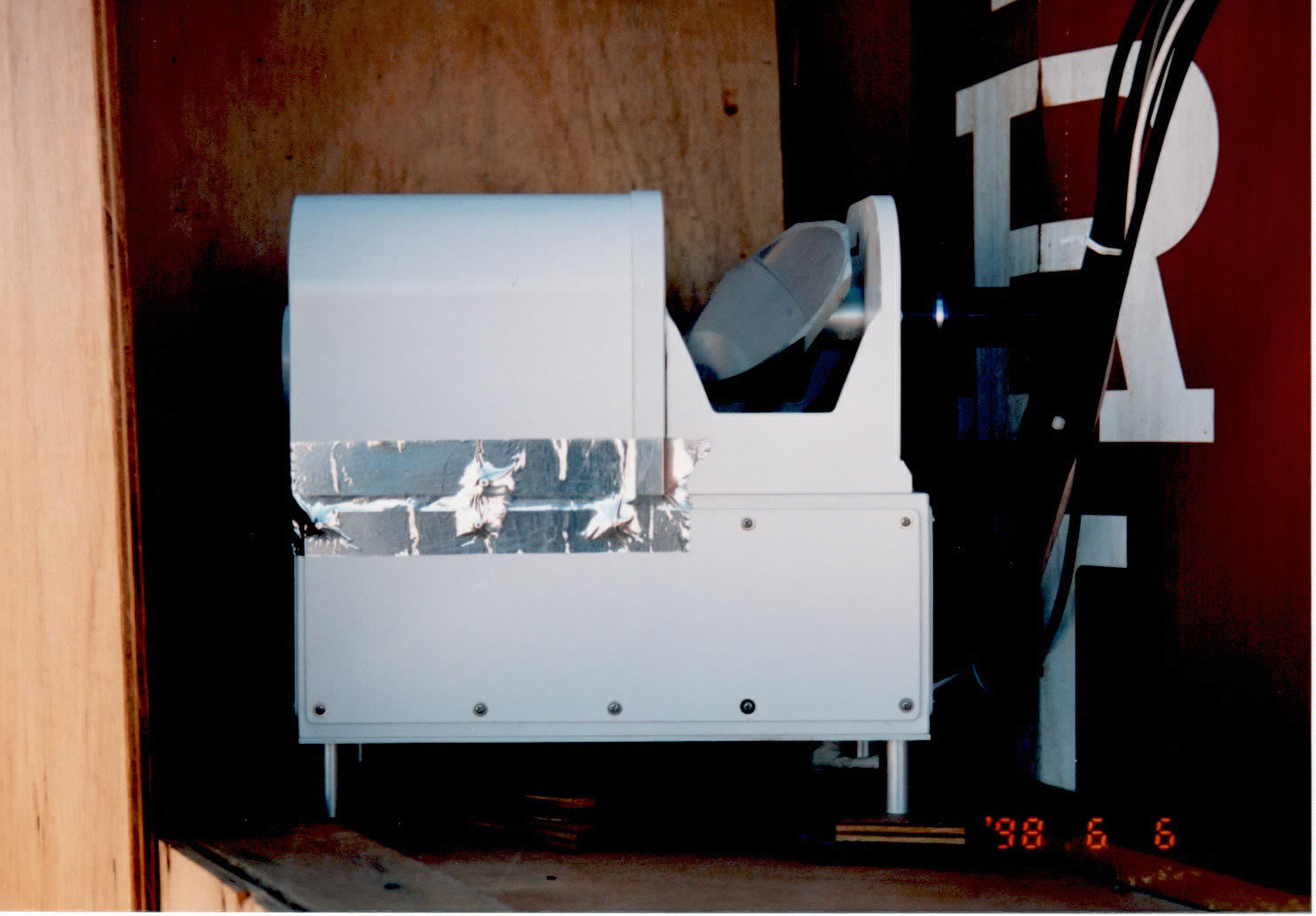
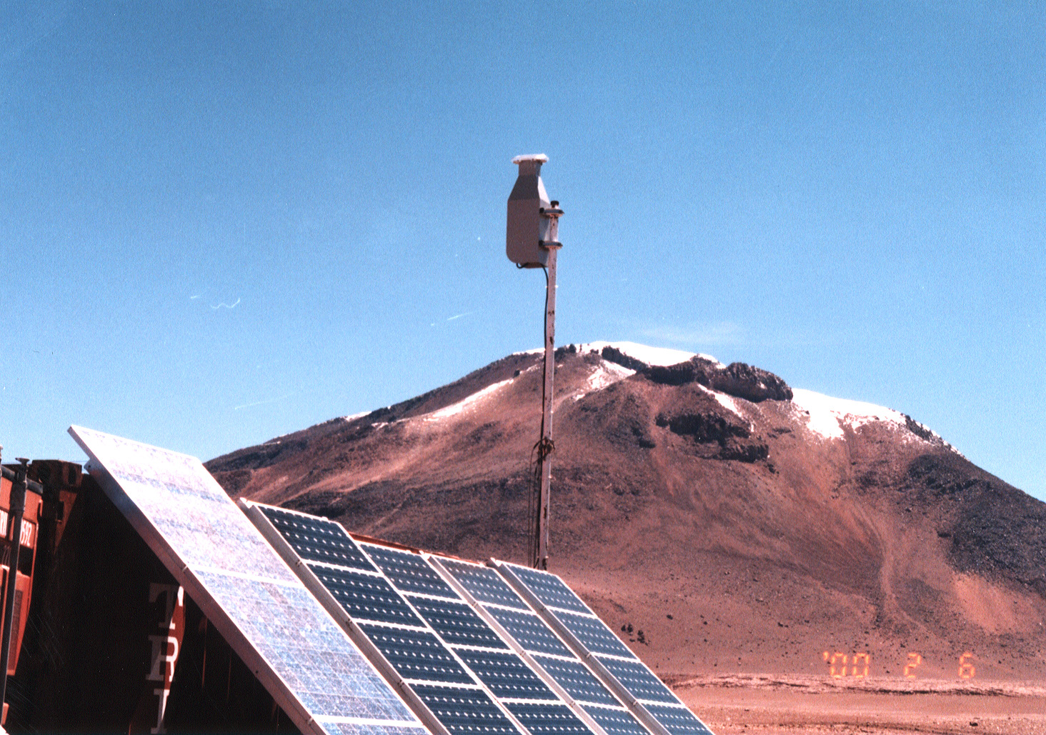
- 11 GHz radio seeing monitor
- 220 GHz radiometer
- 492 GHz radiometer
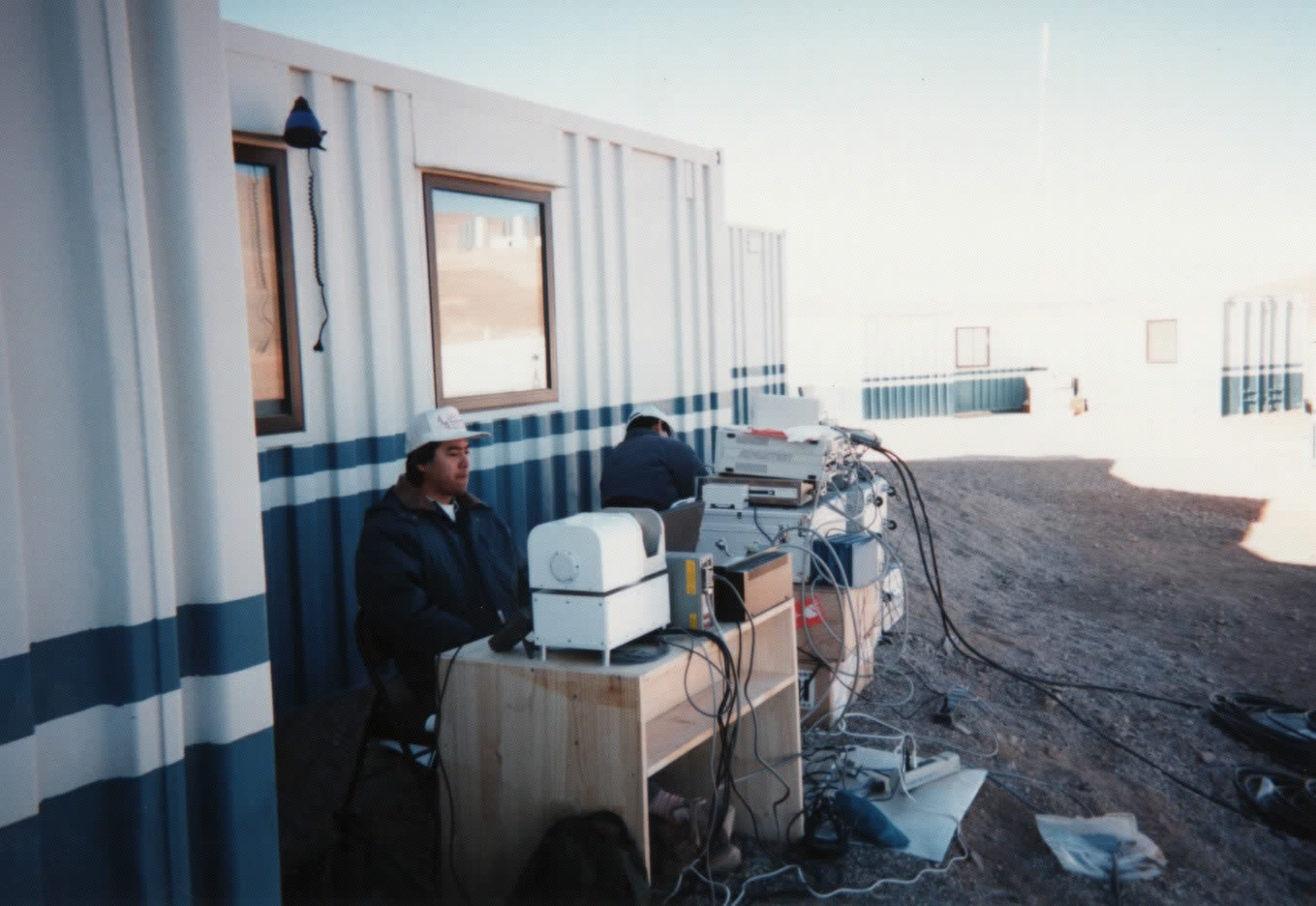
- Fourier transform spectrometer
- Weather stations
- High response anemometer
- Radiosonde (joint activity)
- Storm sensor
- Electromagnetic field antenna
- Field strength tester
- UV radiometer
- Gamma-ray dosimeter
- Neutron dosimeter
Geological Conditions
- Boring
- Subsurface temperature profiling
- Antenna foundation temperature profiling
- Soil resistivity
- GPS-produced maps
Summary
Image Library
- Topographic/Meteorological Condisions:
- Test equipments:
LMSA Memo
Other Info
- ALMA-US Site Testing
- ALMA-EU Site Testing
- SAO Site Testing
- Atacama Telescope (AT) Site Testing
- Cosmic Background Imager (CBI)
- Tokyo Atacama Observatory (TAO)
Early History
- 1994 July
- Installation of a small radio seeing monitor and a 220 GHz radiometer at Paranal.
- 1994 August
- Measurements of 220 GHz opacity at several sites near San Pedro de Atacama.
- 1994 November
- Installation of two weather stations at Rio Frio.
- 1995 July
- Installation of the first radio seeing monitor and re-installation of the 220 GHz radiometer at Rio Frio.
- 1996 Febrary
- Installation of two more weather stations at Pampa la Bola.
- 1996 July
- Installation of the second radio seeing monitor at Pampa la Bola.
- Measurements of 492 GHz opacity (led by Yamamoto group of the University of Tokyo).
- 1997 September
- FTS measurements at Pampa la Bola (first measurement).
- 1998 June
- Re-installation of the first container at Pampa la Bola.
- FTS measurements at Pampa la Bola (second measurement).
- Installation of high response anemometer at Pampa la Bola.
- FTS measurements at Pampa la Bola (second measurement).
- 1999 March
- Re-installation of the second radio seeing monitor at Pampa la Bola.
- Installation of high response anemometer at Pampa la Bola.
- 1999 March
- Re-installation of a weather station at the saddle point between Chascon and Chajnantor mountains.
- 2000 February
- Boring at 6 points in the Pampa la Bola-Chajnantor area.
- Installation of a storm radar and subsurface thermometers at Pampa la Bola.
- Measurements of ground resistance and UV radiation (led by Yamamoto group of the University of Tokyo).
- Installation of a storm radar and subsurface thermometers at Pampa la Bola.
- 2000 June-July
- ASTE site survey
- Soil resistivity sounding
- 2000 September
- Soil resistivity mapping
- 2001 March
- Installation of a field stre?ngth tester at Pampa la Bola.
- Soil resistivity monitoring
- 2001 April-May
- Joint site testing campaign